Tianqiong Sensor IOT Technology Co., Ltd
Sales Manager:Ms. Emily Wang
Cel,Whatsapp,Wechat:+86 15898932201
Email:info@fengtutec.com
Add:No. 155 Optoelectronic Industry Accelerator, Gaoxin District, Weifang, Shandong, China


Sales Manager:Ms. Emily Wang
Cel,Whatsapp,Wechat:+86 15898932201
Email:info@fengtutec.com
Add:No. 155 Optoelectronic Industry Accelerator, Gaoxin District, Weifang, Shandong, China
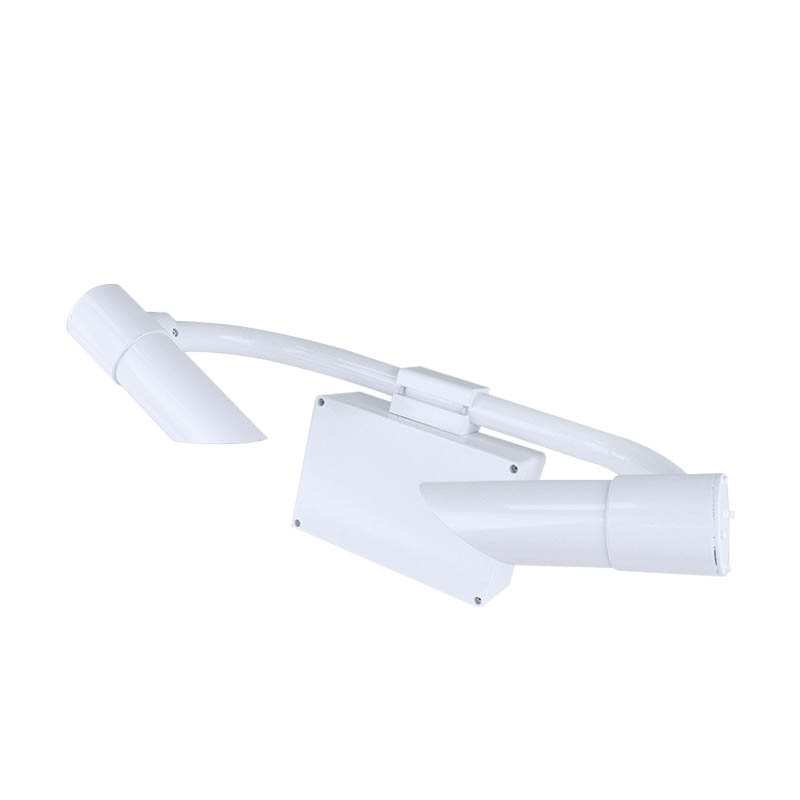
Model:FT-N80
Brand:tianqiong
1、80KM visibility sensor Product Introduction
The N80 model 80KM visibility sensor uses the forward scattering method to measure the total extinction coefficient of air, and then calculates the current visibility.It is widely used in road traffic, meteorology and other industries.
2、80KM visibility sensor Technical Features
1.The instrument casing is made of high-quality aluminum, anodized and then painted, providing excellent waterproof, dustproof, and impact-resistant performance.
2.The transmitting and receiving lenses are designed to face downwards, greatly reducing interference from sunlight and other stray light.
3.Weather phenomenon recognition: It can identify fog, rain, snow, mixed precipitation, clear skies, and other weather phenomena with a high recognition rate.
4.Built-in watchdog circuit ensures reliable and stable operation during long-term outdoor use.
5.Both the instrument's communication and power interfaces are equipped with surge protection, minimizing damage from lightning strikes and electrostatic discharge.
6.Wide voltage power supply (12~24V), total power consumption is approximately 1W, with extremely low power consumption, allowing for long-term power supply using solar panels or batteries.
7.Digital interfaces use RS485 or RS232, standard MODBUS protocol, requiring no protocol adaptation.
8.The instrument can output visibility values for 15 seconds, 1 minute, and 10 minutes, which can be read directly without configuration, making it more flexible to use.
3、80KM visibility sensor Implementation Standard
QX/T 536-2020 Test Method for Forward-scattering Visibility Meters
4、80KM visibility sensor Technical indicators
| Main parameters | Parameter range | Resolution | Error |
| Range | 80km | 1m | ≤2km ±2%; 2km~10km ±5%; >10km ±10% |
| Repeatability | ≤4% | ||
| Weather phenomenon | Fog; rain; snow; mixed precipitation; clear | ||
| Weather phenomenon recognition rate | ≥95% | ||
| Working temperature | -40~60℃ | ||
| Working humidity | 0~100%RH | ||
| Work power | 12~24V | ||
| Power consumption | 1W | ||
| Size | 610x230x360mm(length x width x height) | ||
| Weight | ≤10kg | ||
5、80KM visibility sensor Installation Instructions
1.Installation Location
The visibility meter should be installed on an open, flat, unobstructed surface, away from buildings, trees, shrubs, peaks, and other obstructions.This ensures unobstructed observation range and more accurate data.
Avoid unnecessary optical interference.The receiver of the visibility meter should be installed with its back to a strong light source (such as sunlight), and the transmitter and receiver should be oriented north-south.
2.Installation Height
The installation height of the visibility meter should be greater than 1.5m and less than 3m.If the installation height exceeds 3m, calibration should be performed accordingly.
3.Installation Steps
3.1 Before installation, the user should prepare a support column and use the clamps provided with the instrument to install it onto the column.
3.2 Lift the instrument to a suitable position and use the bolts behind the clamps to secure the visibility meter.During installation, ensure that the receiver and transmitter openings face downwards; otherwise, reinstallation is required.
In fields such as water conservancy and hydrological monitoring, there are various methods for measuring flow velocity. Common ones include the buoy method, the propeller current meter method, etc. The buoy method determines the flow velocity by observing the movement speed of the buoy in the water...
The Portable Weather Station (7-inch Android Touchscreen) is a device specifically designed for various meteorological monitoring scenarios. With "portability and practicality" as its core design concept, it features a lightweight build and a foldable, telescopic structure. It requires no...
In the production and use of photovoltaic modules, grid breakage is a relatively common and thorny problem. Grid breakage refers to the existence of breakpoints in the silver paste printing of the main grid of the solar cell, which causes the fine grid lines on the solar cell to be open-circuited wi...
Soil moisture automatic measurement relies on multiple sensor technologies. For soil water content measurement, Frequency Domain Reflectometry (FDR) and Time Domain Reflectometry (TDR) are commonly used. FDR sensors calculate water content by measuring the soil's dielectric constant, as there is...


 Get a Free Quote
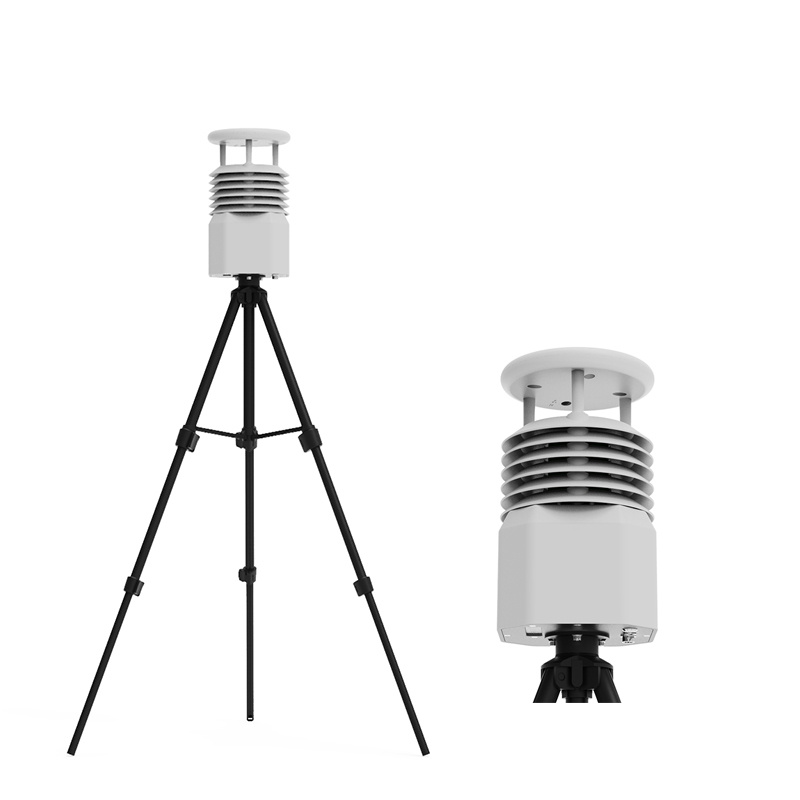
 Skype
Skype
 whatsapp
 mail
mail