Tianqiong Sensor IOT Technology Co., Ltd
Sales Manager:Ms. Emily Wang
Cel,Whatsapp,Wechat:+86 15898932201
Email:info@fengtutec.com
Add:No. 155 Optoelectronic Industry Accelerator, Gaoxin District, Weifang, Shandong, China


Sales Manager:Ms. Emily Wang
Cel,Whatsapp,Wechat:+86 15898932201
Email:info@fengtutec.com
Add:No. 155 Optoelectronic Industry Accelerator, Gaoxin District, Weifang, Shandong, China
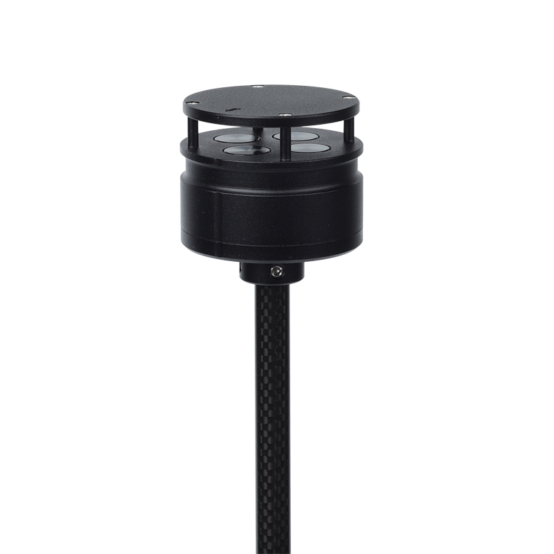
Model:FT-F1
Brand:tianqiong
Product Name: Anemometer for drones
Anemometer for drones is a drone-based weather station anemometer that can accurately measure wind speed while the drone is flying.Product Introduction: F1 Anemometer for drones is a wind speed and direction meter that utilizes the principle of ultrasonic resonance.
It is specially designed to be installed on small aircraft and on unmanned platforms to monitor wind speed and direction values in low-altitude areas.
The weight of F1 is 56g, the diameter is 46mm, the size is small and the weight is light. It has a compact and solid appearance, and has extremely strong anti-electromagnetic interference, waterproof and dustproof functions. It can work normally at an altitude of 4,000 meters and the external environment between -40°C and +70°C.
It uses low-power chips internally, and can measure wind up to 60m/s, especially for unmanned aircraft and related flight control platforms, as well as environmental monitoring systems using aircraft.
F1 has two installation methods, which can be mounted on the top of the aircraft and can be mounted upside down on the bottom of the aircraft.
Anemometer for drones technical indicators:
Wind speed measurement range 0-60m/s, accuracy 3%, resolution 0.1m/s
Wind direction measurement range 0-359°, accuracy ±3°, resolution 1°
Instrument diameter 46mm
Instrument height 48mm
Instrument weight 56g
Material ABS
Color black
Digital output RS485
Baud rate 4800-19200
Communication protocol ModBus, ASCII
Operating temperature/humidity -40℃-+70℃; 0-100%
Working altitude 0-4000 meters
Power supply requirements VDC: 5-30V; 15mA (12V)
Installation method: Top column installation or bottom lifting of aircraft
Meteorological Instruments for Solar Energy is a professional device that integrates the monitoring functions of six key meteorological parameters: temperature, humidity, wind speed, wind direction, air pressure, and rainfall. Its core highlight lies in its highly integrated and ingenious design. It...
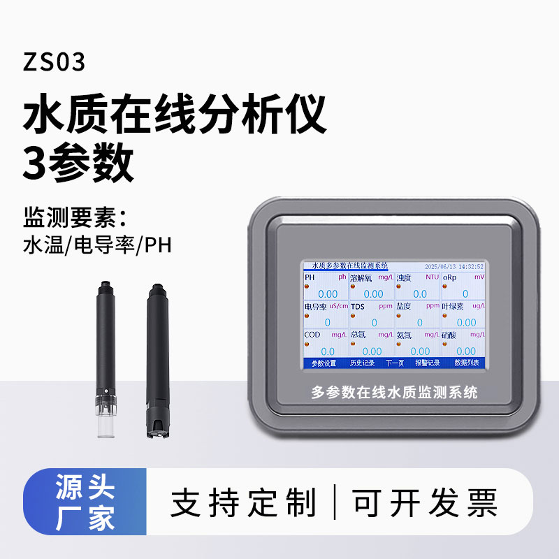
The price of water quality online monitoring micro-stations varies significantly depending on their parameter configuration. Products in the 200,000 RMB price range feature complete integrated units—including water sampling and distribution, detection, and quality control modules—and utilize...
Wind speed monitoring is not only crucial for the promotion of a green lifestyle but also directly affects our daily travel safety and the production environment. When the wind speed is too high, it not only poses a threat to driving safety but may also trigger natural disasters. Therefore, the prec...
Photovoltaic weather stations are professional monitoring devices specifically designed for the photovoltaic industry, capable of real-time and precise measurement of multiple key parameters. Among them, the measurement of thermoelectric total radiation parameters can obtain comprehensive energy dat...


 Get a Free Quote
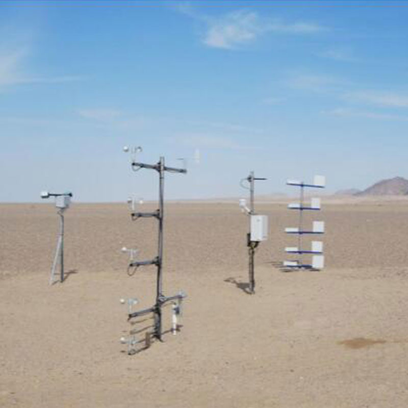
 Skype
Skype
 whatsapp
 mail
mail