Tianqiong Sensor IOT Technology Co., Ltd
Sales Manager:Ms. Emily Wang
Cel,Whatsapp,Wechat:+86 15898932201
Email:info@fengtutec.com
Add:No. 155 Optoelectronic Industry Accelerator, Gaoxin District, Weifang, Shandong, China


Sales Manager:Ms. Emily Wang
Cel,Whatsapp,Wechat:+86 15898932201
Email:info@fengtutec.com
Add:No. 155 Optoelectronic Industry Accelerator, Gaoxin District, Weifang, Shandong, China
time:2026-06-02 10:49:53 source:Weather Station viewed:222 time
The integrated GNSS device integrates satellite positioning antennas, computing boards, wireless communication, and power management into a single unit. It uses differential RTK technology to acquire millimeter-level displacement data, boasts an IP67 or higher protection rating, and low power consumption, enabling long-term stable operation at engineering safety monitoring sites such as dams, bridges, and landslides.
The integrated GNSS device is a monitoring terminal that integrates a high-precision positioning board, multi-system antennas, data acquisition and storage modules, wireless communication links, sensor expansion interfaces, and a power management system all within a single protective enclosure. This integrated design replaces the traditional split-type monitoring system where antennas, receivers, and data acquisition units are scattered and require complex wiring, significantly reducing the difficulty of field deployment and the workload of long-term maintenance. The device is small and lightweight, facilitating rapid installation and portability. It can be used directly as a base station, rover, or remote monitoring terminal, suitable for various engineering scenarios such as dam safety monitoring, bridge health monitoring, landslide early warning, tailings dam monitoring, and ground subsidence monitoring.
In terms of measurement accuracy, the integrated GNSS equipment employs differential RTK technology to achieve millimeter-level displacement monitoring. By receiving signals from the Global Navigation Satellite System (GNSS), the equipment utilizes a carrier phase differential algorithm between the reference station and the monitoring station to eliminate common error terms such as satellite orbit errors, ionospheric delay, and tropospheric delay, thereby achieving millimeter-level relative positioning accuracy. Typical horizontal accuracy reaches 2.5 mm plus a 1x proportional error, and vertical accuracy reaches 5 mm plus a 1x proportional error. The equipment supports multi-system, multi-frequency signal reception and is compatible with mainstream satellite navigation systems such as BeiDou, GPS, GLONASS, and Galileo. It can stably output high-precision three-dimensional coordinate changes even in open environments. Simultaneously, the equipment's built-in data processing unit can perform real-time calculations locally, eliminating the need to transmit raw observations back to a central server for further processing. This reduces data transmission latency and network bandwidth requirements, improving the timeliness of early warnings.
In terms of environmental adaptability and engineering deployment, integrated GNSS devices adopt an industrial-grade protective design, with enclosure protection levels generally reaching IP67 or IP68. They are completely dustproof and can withstand short-term immersion, making them suitable for harsh environments with heavy rain, humidity, and high dust levels. The operating temperature range typically covers -40°C to 85°C, meeting the long-term operational needs of extremely cold and hot regions. The overall power consumption is controlled below 2 watts, and with a power supply system consisting of solar panels and batteries, it can operate continuously for multiple rainy days in remote areas without mains power access. The devices have built-in 4G, NB-IoT, LoRa, or Bluetooth wireless communication modules, supporting real-time uploading of monitoring data to a cloud platform or local monitoring center. Users can remotely access and view displacement time series curves, set warning thresholds, and receive alarm information. With its high integration, precision, stability, ease of installation, and remote controllability, integrated GNSS devices have become fundamental sensing equipment in the fields of structural health monitoring and geological disaster early warning.
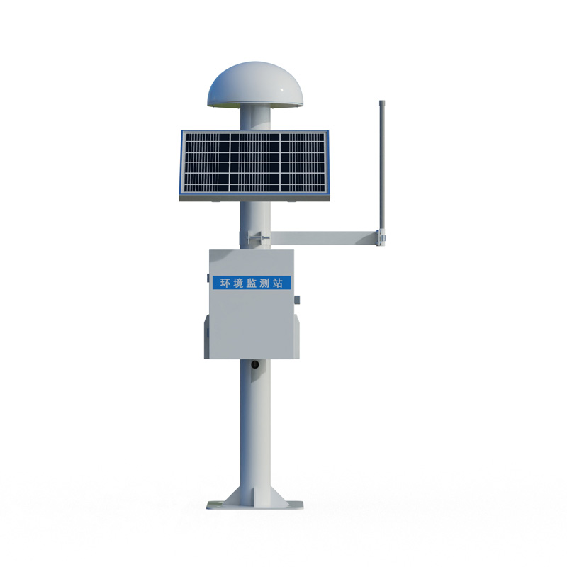
The integrated GNSS device integrates satellite positioning antennas, computing boards, wireless communication, and power management into a single unit. It uses differential RTK technology to acquire millimeter-level displacement data, boasts an IP67 or higher protection rating, and low power...
The handheld weather apparatus is a lightweight, portable meteorological observation device. Relying on precision sensors and intelligent chips, it accurately collects more than ten meteorological elements, supports GNSS positioning, long-term data storage, and 4G cloud data transmission, and...
Soil moisture automatic measurement relies on multiple sensor technologies. For soil water content measurement, Frequency Domain Reflectometry (FDR) and Time Domain Reflectometry (TDR) are commonly used. FDR sensors calculate water content by measuring the soil's dielectric constant, as there is...
The portable anemometer is a mobile intelligent observation device integrating multiple meteorological monitoring functions. Relying on precision sensors and intelligent chips, it achieves accurate measurement of multiple elements, supports long-term data storage and convenient data transmissi...


 Skype
Skype
 whatsapp
 mail
mail