Tianqiong Sensor IOT Technology Co., Ltd
Sales Manager:Ms. Emily Wang
Cel,Whatsapp,Wechat:+86 15898932201
Email:info@fengtutec.com
Add:No. 155 Optoelectronic Industry Accelerator, Gaoxin District, Weifang, Shandong, China


Sales Manager:Ms. Emily Wang
Cel,Whatsapp,Wechat:+86 15898932201
Email:info@fengtutec.com
Add:No. 155 Optoelectronic Industry Accelerator, Gaoxin District, Weifang, Shandong, China
Model:FT-TK2
Brand:tianqiong
1.Overview of Cloud Monitoring
Cloud Monitoring provides real-time digital images of the sky during the day and calculates the percentage of cloud cover in the sky.With the development of natural science, cloud observations continue to be valued.In the early days, professionals needed to observe the clouds through the naked eye and manually record the observation results.The accuracy of the observation results varies greatly depending on the observer's experience and technical level.In order to reduce labor costs, improve observation accuracy, and achieve unattended automatic observation of the sky around the clock, Cloud Monitoring has gradually replaced manual observation.Cloud Monitoring has combined with the application of machine deep learning algorithms to greatly improve the degree of automated observation of the cloud and enhance people's research and utilization of solar energy resources.
2.Cloud Monitoring function description
FT-TK2 Cloud Monitoring is a new generation of fully automatic, full-color sky imaging equipment independently developed by our company.The device has a 220° super large visual angle.Through IOT intelligent network technology, the image information and weather data obtained in real time can be transmitted to the back-end computing center.After the data is processed by quality control and AI image recognition model, the real-time image data, cloud coverage, light transmittance and additional weather data will be provided to the user terminal in various forms.
3.Cloud Monitoring hardware specifications and parameters
Image sensor: 1/2.7" Progressive Scan CMOS 5 million pixels (default 2 million output, 2 million, 3 million, 5 million three-speed can be remotely adjusted through the cloud)
Minimum illumination: Color: 0.01Lux F1.2
Image signal-to-noise ratio: ≥50dB (AGC OFF)
Wide dynamic range: ≥80dB
Maximum image resolution: 2592×1944
Support image resolution: 2592×1944/2560×1920/2048×1536/1080P(1920×1080)
Lens viewing angle: about 220° full fisheye
Focal length: 2.8mm
Light-through aperture (Aperture): F1.8
Input voltage range: 11~13.5VDC, standard input voltage: 12VDC (supports two ways of supplying adapter and solar energy)
The power consumption of the whole machine does not exceed 10W, and the average power consumption is 6.5W.
Network communication method: 4G
Temperature and humidity sensor:
Temperature: Sensor accuracy ±0.3℃, the accuracy applies to range 0℃~65℃, and the use range -20℃~55℃
Humidity: Sensor accuracy ±3%RH, accuracy applies to range 10%RH~90%RH, use range 0%RH~100%RH
Atmospheric pressure sensor: sensor accuracy ±1hpa range 300hpa ~ 1100hpa
Working temperature -20℃~55℃
button:
Power button: Power on/off
Setting key: In the running state of the device, wait for a period of time after pressing, the device enters Bluetooth mode, which is used for user binding and resetting the network.
Indicator light:
Turn on: The yellow light will not be on for more than 5 seconds
Bluetooth mode: red and green light, flashing intermittently every second
Operation status: 4G network mode, green light flashes once every 10s
No network available: red light flashes for 30 seconds
Weather data and image sampling frequency can be adjusted, uploaded once every 1 minute soon
Product Material: PC
External dimensions (length, width and height): 305x175x330mm
Waterproof grade: IP55
Product weight: 2kg
Installation method: vertical pole
Single set configuration list
| Serial number | Product name | model | Main functions |
| 1 | Sky imager | FT-TK2 | ① Fisheye Sky Camera (vertical to the sky) ② Temperature ③Relative humidity ④ Air pressure |
| 2 | Communication system | ① Direct communication for wired network | |
| 3 | Supporting software | APP and web services | ① Check the live situation ②View download historical data ③View image charts ④ Basic data interface service ⑤View real-time sky images, view and download historical sky image data |
| 4 | Sky image algorithm system | Image processing algorithm analysis service for 2 years | |
| 5 | Mainland power | —— | Supports electricity |
| 6 | Installation bracket | —— | 2m installation pole |
Agricultural Weather Stations,Customizable Parameters and Intelligent Monitoring as Key Tools for Scientific Decision-making in AgricultureAgricultural Weather Stations enable free customization of parameters and intelligent monitoring, serving as vital tools for scientific decision-making in agricu...
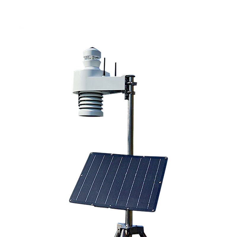
Environmental monitoring centers play a crucial role in atmospheric environment monitoring, responding to sudden environmental incidents, and providing data support for environmental protection decision - making. A portable and powerful mobile weather station is of great significance for improving i...
In the field of meteorological monitoring, traditional monitoring methods have limitations in specific geographical environments. Ground-based equipment is restricted by terrain and difficult to achieve comprehensive coverage; while satellites can provide macro-level monitoring, they lack precision...
During ship navigation, when encountering waters with unknown water depth conditions, ship drivers face potential risks such as reef striking and stranding, which seriously threaten navigation safety. In such cases, a Portable Ultrasonic Water Depth Meter can be used.The Portable Ultrasonic Water De...


 Get a Free Quote
 Skype
Skype
 whatsapp
 mail
mail