Tianqiong Sensor IOT Technology Co., Ltd
Sales Manager:Ms. Emily Wang
Cel,Whatsapp,Wechat:+86 15898932201
Email:info@fengtutec.com
Add:No. 155 Optoelectronic Industry Accelerator, Gaoxin District, Weifang, Shandong, China


Sales Manager:Ms. Emily Wang
Cel,Whatsapp,Wechat:+86 15898932201
Email:info@fengtutec.com
Add:No. 155 Optoelectronic Industry Accelerator, Gaoxin District, Weifang, Shandong, China
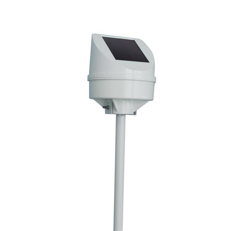
Model:FT-DH2
Brand:tianqiong
1.Geological disaster monitoring system product overview
Geological disaster monitoring system is a geological disaster monitoring and early warning system based on the Internet of Things. When a geological disaster occurs, it can effectively issue an early warning signal.Geological disaster monitoring system has the advantages of small size, high accuracy, easy installation, and complete functions.It can conduct real-time security monitoring of the measured object in 24/7, and has multiple advantages such as intelligence, cloud mode, and high precision.It can monitor the attitude inclination status of the device itself in three directions X, Y, and Z, and measure the relative displacement and azimuth angle of the monitoring point, thereby judging the surface situation.By monitoring the tilt of the object to be measured in real time, when the monitoring alarm exceeds the alarm value, an alarm is issued to the tilt status of the object to be measured and the information is uploaded to the cloud platform.
2.Geological disaster monitoring system technical parameters
1.Measurement parameters
Acceleration: Measuring range: ±0.7g, Measuring accuracy: ±0.1%, Resolution: 0.06mg, Overload tolerance: 300g
Inclination angle: Measuring range: 0~39°, measurement accuracy: ±0.1°, resolution: 0.001°, measurement direction: X, Y, Z
Displacement: Measuring range: ±500mm, Measuring accuracy: ±0.12mm, Resolution: 0.03mm
2.Other parameters
Signal transmission: 4G wireless data transmission
Power supply: combined power supply of solar energy + lithium battery
Working temperature: -40~85℃
Working humidity: 0~95%RH (non-condensing)
Solar panels: 3W
Lithium battery: 5200mAh
Reporting interval: 1 minute to 24 hours can be set, and it supports secret reporting
3.Geological disaster monitoring system product features
1.Integration, integrating IoT communication terminals, data storage and processing units, high-performance batteries, solar panels and sensors in one host.
2.Careful circuit design, fast response time, diverse output methods, test data, analyze trends
3.High accuracy, strong stability, effective analysis, automatic warning, simple structure design and comfortable, making maintenance simpler;
4.Wireless data transmission does not require setting up communication lines, long transmission distances and high transmission efficiency, which can ensure data integrity, security and immediacy;
5.The power supply method of combined solar energy + lithium battery power supply not only avoids waste of resources and space occupied by setting up power supply lines, but also ensures that there will be no power outage in the event of continuous rain for more than ten days.
6.The manufacturer has ISO quality management system, environmental management system and occupational health management system certification
7.The manufacturer has a computer software registration certificate
8.The manufacturer is a 3A-level credit enterprise
4.Geological disaster monitoring system application field
It is widely used to observe geological conditions such as mountain slopes, seaside embankments, tunnels, highway embankments and bridges.
5.Geological disaster monitoring system cloud platform
1.CS architecture software platform, supports direct observation of mobile phones and PC browsers without additional software installation.
2.Support multiple accounts and multiple devices to log in
3.Support real-time data display and historical data display dashboard
4.Cloud server and cloud data storage are stable and reliable, easy to scale, and load balancing.
5.Support SMS alarm and threshold settings
6.Support map display and viewing device information.
7.Support data curve analysis
8.Support data export table form
9.Supports data forwarding, HJ-212 protocol, TCP forwarding, http protocol, etc.
10.Support data post-processing function
11.Support external running of javascript scripts
The Ultrasonic weather station utilizes ultrasonic technology to measure meteorological elements. When ultrasonic waves propagate in the air, their propagation speed is affected by air flow. When the wind blows from different directions, the propagation times of ultrasonic waves in the downwind and...
Ultrasonic weather station uses non-contact sensing technology to accurately monitor weather conditions and leverages 4G wireless transmission to provide borderless data services for smart agriculture....
As night fell, I was flying through the darkness as usual. Suddenly, I spotted a beam of light that lured insects ahead. Driven by instinct, my companions and I flew towards the light source without hesitation. Later I came to know that it was actually a nightmare from which there was no escape. Tha...
A Portable Weather Station is a movable on-site observation device. It has the advantages of portability, easy operation and accurate measurement, and can integrate monitoring functions for multiple meteorological elements to meet various dynamic observation needs. It can conduct all-weather and uni...


 Get a Free Quote
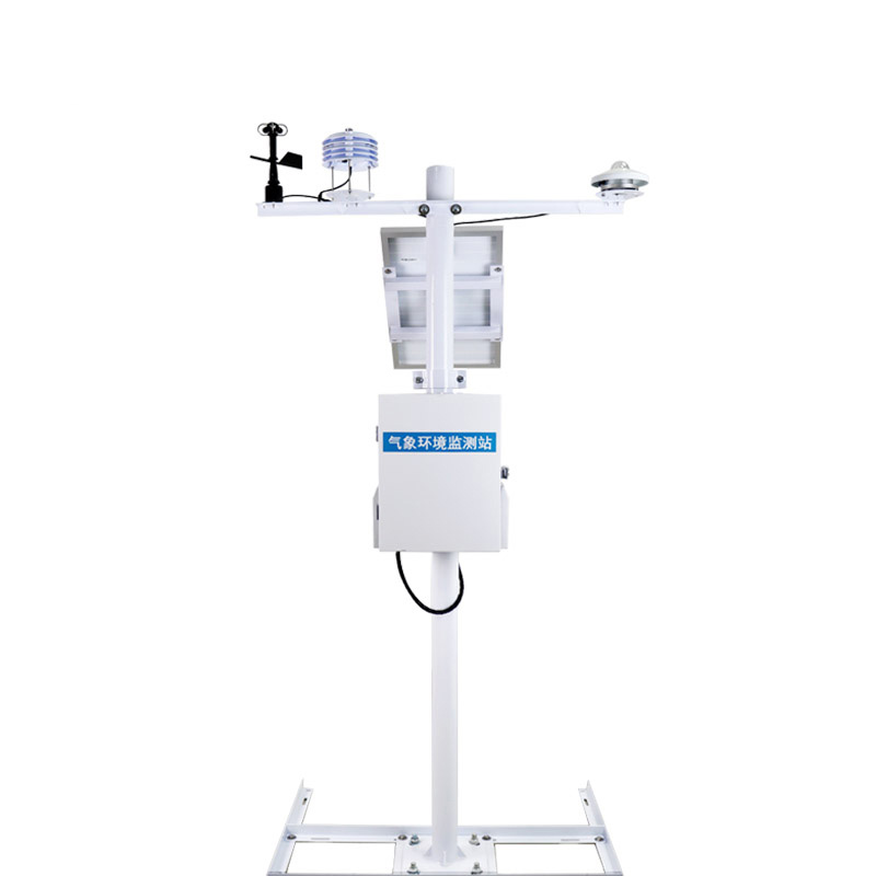
 Skype
Skype
 whatsapp
 mail
mail