Tianqiong Sensor IOT Technology Co., Ltd
Sales Manager:Ms. Emily Wang
Cel,Whatsapp,Wechat:+86 15898932201
Email:info@fengtutec.com
Add:No. 155 Optoelectronic Industry Accelerator, Gaoxin District, Weifang, Shandong, China


Sales Manager:Ms. Emily Wang
Cel,Whatsapp,Wechat:+86 15898932201
Email:info@fengtutec.com
Add:No. 155 Optoelectronic Industry Accelerator, Gaoxin District, Weifang, Shandong, China
Model:FT-BPLD1
Brand:tianqiong
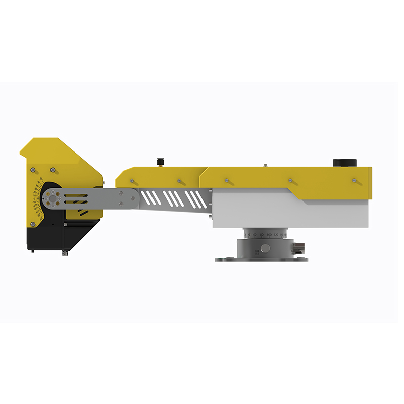
1、Slope Stability Monitoring Radar Product Overview
The standard version of the fixed 360° Slope Stability Monitoring Radar radar, based on research achievements from Sun Yat-sen University, utilizes an independently developed arc-shaped synthetic aperture radar system and phase differential interferometry technology. It can perform 360° long-range scanning and extraction of minute surface deformation and displacement information in observation scenarios (small and medium-sized open-pit mines, geological hazard points, water conservancy projects, railways, highways, and other geological bodies and major engineering projects), enabling long-term or temporary stability monitoring and automated early warning for various slopes, geological bodies, and major engineering projects.
Slope Stability Monitoring Radar adopts an edge computing architecture, with information processing, positioning and orientation, and wireless communication functions all integrated within the device. It features sub-millimeter-level high precision, all-weather operation, and long-term fixed stability. It boasts 360° wide-area coverage, 0.1mm precision measurement, high reliability, and resistance to harsh environments such as clouds, rain, fog, snow, dust, and fire. It can achieve landslide/collapse stability monitoring and automated early warning for various slopes, geological bodies, and major engineering projects. It can also be used on platforms such as transport trailers.
2、Slope Stability Monitoring Radar Application Areas
Long-term monitoring of side slopes in small and medium-sized mines
Temporary monitoring of landslides in small and medium-sized mines
Long-term monitoring of geological disaster hazard points
Long-term monitoring of tailings dams
3、Slope Stability Monitoring Radar Product Features
Mining & Geological Disaster Special Edition: Customized for long-term monitoring scenarios such as mines.
Strong microwave penetration, providing all-weather, 24/7 monitoring capability, unaffected by rain, snow, fog, smoke, dust, or fire, ensuring high reliability.
No Protective Installation Required: Unaffected by outdoor wind, sun, rain, dust, or heavy snow, eliminating the need for a monitoring room.
Adaptive atmospheric disturbance compensation algorithm eliminates the impact of disturbances during long-term monitoring.
Utilizing circular arc imaging and continuous wave radar, it can monitor 360° all angles, with no blind spots due to angle or distance.
24/7: Uninterrupted scanning.
3D Fusion: Sub-meter level registration.
All-weather, 24/7 monitoring of the entire area.
Automatic judgment, automatic early warning, unattended operation.
IP65 protection; normal operation at -40℃ ultra-low temperature; maximum operating altitude of 5000 meters.
4、Slope Stability Monitoring Radar Key Performance Indicators of Radar and Platform Software
1) Monitoring Indicator: Surface Displacement;
2) Warning Information: Displacement/Velocity;
3) Monitoring Accuracy: ≤0.1mm;
4) Maximum Distance: 2000m;
5) Monitoring Range: ≥360*30°;
6) Scan Cycle: 0.5~4min;
7) Resolution: ≤0.3m*10mrad;
8) ★Electrically Controlled Pitch Angle Adjustment: ≥80° (Optional, manual by default);
9 10) Radar weight: 10kg, supports single-person deployment;
11) ★ Built-in radar positioning and orientation function (optional);
12) Antenna mode: Transceiver dual antennas, isolation ≥50dB;
13) ★ Supports continuous operation in the field without a monitoring room;
14) Protection rating: ≥IP65;
15) ★ Radar main unit has built-in 4G wireless and wired communication functions;
16) Operating altitude: ≥5000 meters;
17) Operating temperature: -40℃~+55℃. 17) The radar is domestically developed and manufactured.
18) The early warning software supports deployment on physical servers or cloud servers; it can remotely restart the device; the software adopts a B/S architecture, supporting simultaneous access by multiple users.
19) The early warning software supports the selection and quantitative analysis of thematic layers such as feature points or regions, generating curves and reports.
20) ★ The early warning software has air-varying atmospheric phase correction function; it can display deformation maps within a specified time range.
21) Data fusion in the early warning software: It supports the fusion of UAV modeling, CAD 3D modeling, laser 3D point cloud modeling data, and radar data.
22) The early warning software... Features a large-screen monitoring mode; the software interface uses Chinese language; supports curve continuation function;
23) (Early Warning Software) has 360° imaging capability
24) ★ (Early Warning Software) provides free data interface to the client;
25) ★ Supports deformation/rate graded heat map;
26) (Early Warning Software) Supports 4-level automatic judgment and early warning, supports audible, visual, and SMS alarms;
27) ★ (Early Warning Software) Supports generating Word format reports for specified time periods;
28) (Early Warning Software) Allows setting early warning shielding areas to effectively shield false alarms in the work area;
29) Supports the data reporting specifications of Mine Safety Document No. 119.
Water Quality Monitoring Data Buoys can be fixed in water bodies for a long time, collecting real-time and continuous water quality data such as water temperature, pH value, dissolved oxygen, ammonia nitrogen, and turbidity. With the help of this real-time data, dynamic changes in water quality can...
Rat Bait Station utilizes the Internet of Things (IoT) and intelligent recognition technology to achieve 24/7 rodent activity data collection and remote control management....
Pine wood nematode DNA rapid detection system achieves specific analysis of pine wood nematode genes through separation, extraction, and fluorescence quantitative PCR technology. This system boasts rapid detection speed and is applied in forestry disease monitoring, agricultural quarantine, and ecological protection fields....
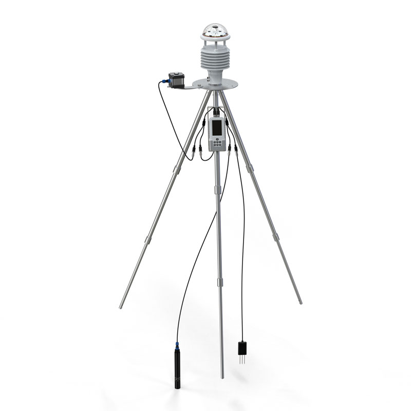
Two - dimensional ultrasonic anemometers can only measure two parameters: wind speed and direction on the horizontal plane. They cannot obtain information about the wind in the vertical direction, such as vertical wind speed or the upward/downward speed of vertical airflows. Therefore, they are only...


 Get a Free Quote
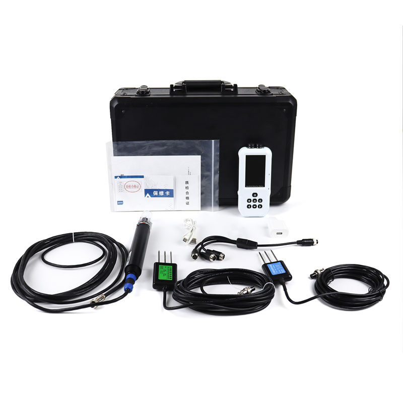
 Skype
Skype
 whatsapp
 mail
mail