Tianqiong Sensor IOT Technology Co., Ltd
Sales Manager:Ms. Emily Wang
Cel,Whatsapp,Wechat:+86 15898932201
Email:info@fengtutec.com
Add:No. 155 Optoelectronic Industry Accelerator, Gaoxin District, Weifang, Shandong, China


Sales Manager:Ms. Emily Wang
Cel,Whatsapp,Wechat:+86 15898932201
Email:info@fengtutec.com
Add:No. 155 Optoelectronic Industry Accelerator, Gaoxin District, Weifang, Shandong, China
time:2025-10-13 09:05:33 source:Weather Station viewed:504 time
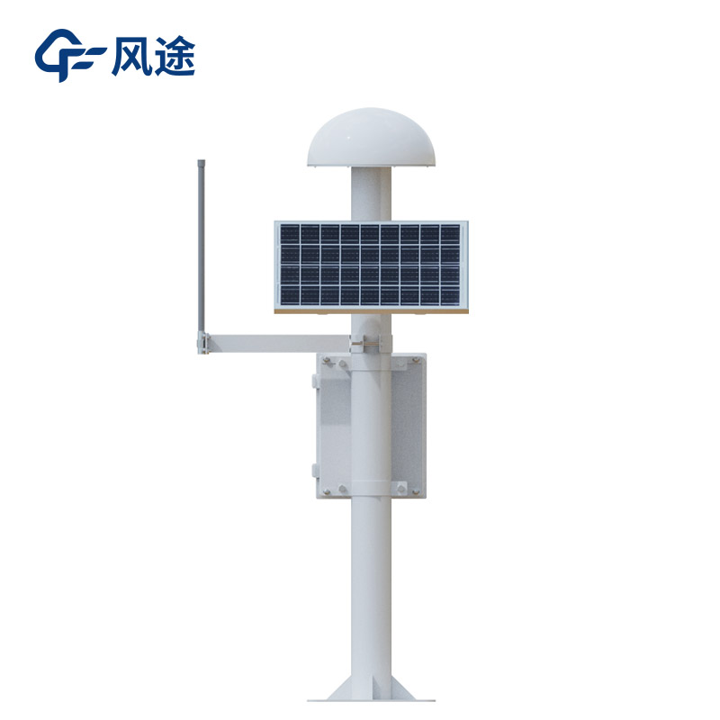
In the field of geological hazard monitoring and early warning (such as landslides, collapses, ground subsidence, debris flows, etc.), GNSS monitoring stations are a core technical means used for accurately measuring surface displacement and deformation.
GNSS equipment precisely determines its absolute coordinates (longitude, latitude, elevation) on Earth by receiving signals from global navigation satellite systems (such as China's Beidou, the United States' GPS, Russia's GLONASS, and the European Union's Galileo).
The GNSS receiver antenna at the monitoring station continuously receives radio signals transmitted by multiple navigation satellites. The receiver processes these signals internally or through background software, using precision algorithms such as "carrier phase difference" to calculate the three-dimensional coordinates of the antenna phase center in the WGS84 coordinate system.
By comparing coordinates calculated at different time intervals (e.g., every second, minute, or day) with initial coordinates or coordinates from the previous period, the displacement amount, displacement rate, and cumulative displacement amount of the monitoring point in the east, north, and vertical directions can be determined.
In geological hazard monitoring, a network mode of "reference station + monitoring station" is usually adopted.
Reference Station: Installed in areas far from hazard bodies with stable and unchanging geological conditions. It provides a stable coordinate reference datum for the entire monitoring network.
Monitoring Station: Deployed at key points on hazard bodies (such as landslide bodies, subsidence areas). These stations displace along with the deformation of the hazard body.
Data Processing: By performing joint differential calculation on the observation data from monitoring stations and reference stations, common errors such as satellite clock errors, receiver clock errors, and atmospheric delays can be significantly eliminated, thereby improving the horizontal displacement accuracy of monitoring points to the millimeter level and vertical displacement accuracy to the centimeter level.
Advantages:
Unaffected by weather conditions and day-night cycles, providing 24-hour uninterrupted real-time data
Capable of simultaneously acquiring displacement information in three directions: horizontal (east-west, north-south) and vertical (elevation), comprehensively reflecting the deformation characteristics of hazard bodies
A single reference station can provide reference services for multiple monitoring stations within a certain range (usually tens of kilometers), suitable for monitoring large-scale geological hazards
Provides absolute position information based on a global coordinate system, facilitating large-scale, long-term deformation trend analysis without cumulative error effects
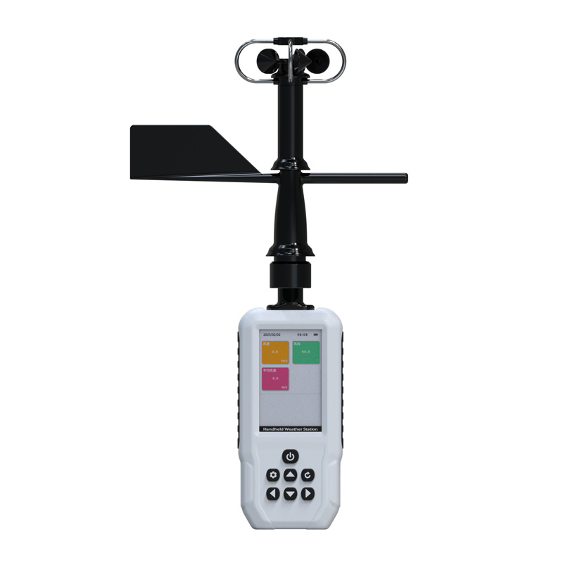
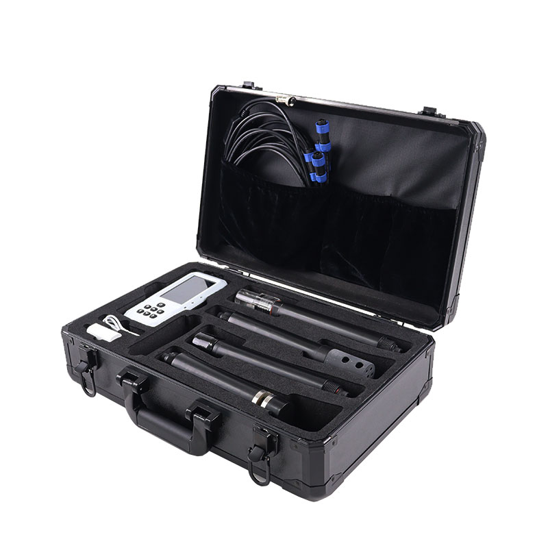
The Portable Weather Station is a highly integrated, low-power, and rapidly deployable device designed for high-precision automated meteorological observation. It supports wireless data transmission and allows for quick, calibration-free deployment. With a total weight of no more than 5 kilogr...
Soil moisture monitoring is a crucial link in modern agricultural water-saving and drought resistance. By scientifically measuring and analyzing soil moisture conditions, it provides accurate data support for irrigation decisions and drought resistance scheduling, which is of great significance for...
A cleanroom is a sealed space where parameters such as air cleanliness, temperature, humidity, and pressure are strictly controlled. It is widely used in industries with harsh environmental requirements, such as electronics, pharmaceuticals, healthcare, and biotechnology. Through special air purific...
The water quality online monitoring micro-station integrates units for water sampling and distribution, analysis, and quality control. Core parameters—including total phosphorus, total nitrogen, chemical oxygen demand (COD), permanganate index, and ammonia nitrogen—are determined in strict a...


 Skype
Skype
 whatsapp
 mail
mail