Tianqiong Sensor IOT Technology Co., Ltd
Sales Manager:Ms. Emily Wang
Cel,Whatsapp,Wechat:+86 15898932201
Email:info@fengtutec.com
Add:No. 155 Optoelectronic Industry Accelerator, Gaoxin District, Weifang, Shandong, China


Sales Manager:Ms. Emily Wang
Cel,Whatsapp,Wechat:+86 15898932201
Email:info@fengtutec.com
Add:No. 155 Optoelectronic Industry Accelerator, Gaoxin District, Weifang, Shandong, China
time:2025-11-10 09:17:35 source:Weather Station viewed:602 time
A Lake Water Level Monitoring Station is a facility designed for the automated measurement of key parameters such as lake water level, flow velocity, flow rate, and water quality. Through continuous data collection and analysis, it provides a scientific basis for water resource management, flood warning, and aquatic ecological protection.
With technological advancements, modern hydrologic monitoring has evolved from traditional manual methods to automated systems that integrate sensors, the Internet of Things (IoT), and satellite communication technologies.
Introduction to Fengtu® Lake Water Level Monitoring Station
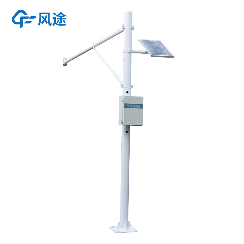
The Fengtu® Lake Water Level Monitoring Station is an automated hydrologic monitoring device that integrates multiple technologies, enabling round-the-clock monitoring of lake environments.
01 Technical Principle and Measured Parameters
The system primarily employs non-contact planar radar technology. It accurately measures water flow velocity and level by emitting microwaves towards the water surface and receiving the reflected signals. Built-in software algorithms use this data, combined with pre-set cross-section parameters, to automatically calculate and output real-time cross-sectional flow rate and cumulative flow volume.
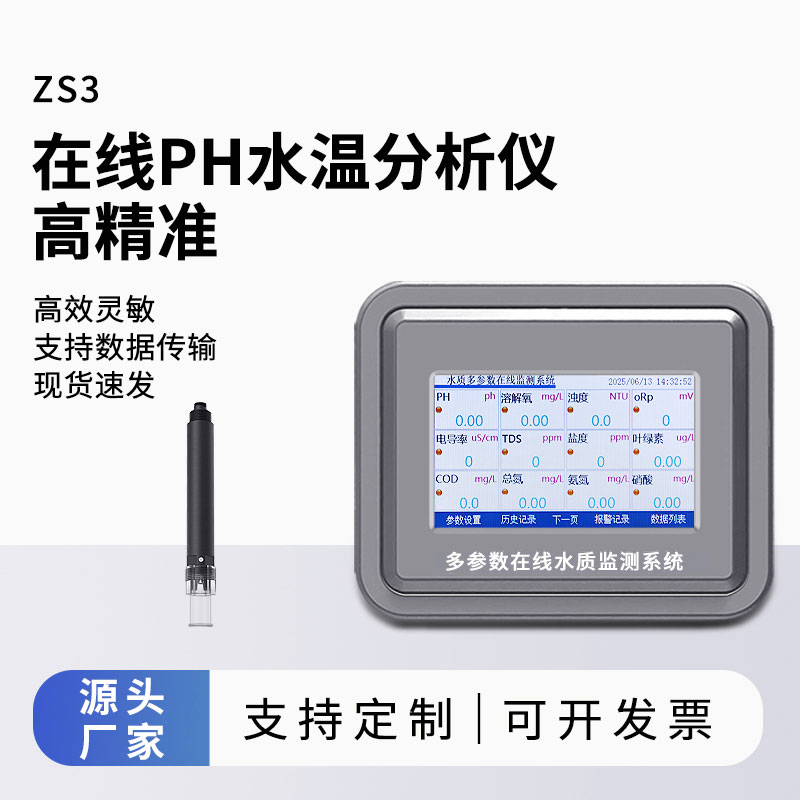
In addition to basic hydrologic elements, the monitoring station can integrate various water quality sensors to monitor key indicators such as pH, dissolved oxygen, turbidity, conductivity, and ammonia nitrogen.
02 System Composition and Workflow
A complete Fengtu Water Level Monitoring Station consists of three main parts:
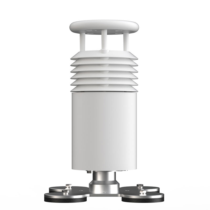
Collection End: Includes radar water level/flow velocity sensors, water quality parameter sensors, and meteorological sensors (e.g., rainfall, wind speed and direction), responsible for raw data acquisition.
Transmission & Power Supply End: The data logger is responsible for aggregating and storing data, and transmits it remotely to the monitoring center via 4G/5G or satellite communication modules. The system typically uses solar panels combined with batteries to ensure long-term stable power supply in field environments.
Platform End: The supporting software platform adopts a Client-Server architecture. It allows users to directly view real-time and historical data, set alarm thresholds, perform data curve analysis, and export reports via computer or mobile browser.
03 Application Value
The equipment addresses the challenge of environmental monitoring in areas with no or weak signal coverage. The monitoring data can serve multiple purposes, including river chief system assessment, emergency response to water pollution incidents, and protection of drinking water sources.
Integrated Weather Station integrates sensors such as wind speed, wind direction, temperature and humidity, air pressure, light, optical rainfall and air quality. It is a low-power, high-precision, field automatic weather observation equipment that can be quickly installed....
The Pine Wood Nematode Detector is a compact, portable, and user-friendly specialized instrument designed to perform the entire detection process—including pine wood nematode isolation, DNA extraction, and quantitative fluorescence PCR analysis. Equipped with a dedicated field rapid-detection...
As environmental pollution becomes increasingly complex, the limitations of traditional air monitoring methods are gradually becoming apparent. The national ambient air monitoring network has a limited number of stations and high costs, and the method of using points to represent the whole area resu...
China has a vast territory with complex and diverse geographical environments and significant differences in climatic conditions. As a crucial link for power transmission, transmission lines inevitably traverse special geographical areas such as valleys, high - altitude peaks, and rivers. These spec...


 Skype
Skype
 whatsapp
 mail
mail